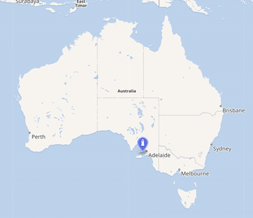
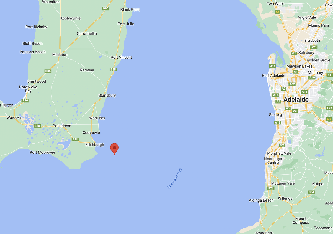
WHERE IS TROUBRIDGE ISLAND?
Troubridge Island part of the Troubridge Shoals. In oceanography, a shoal is a natural submerged ridge, bank, or bar that consists of, or is covered by, sand or other material that rises from the bed of a body of water to near the surface.
The island is located in the southwestern corner of Gulf St Vincent in South Australia, about 8 km offshore from the town of Edithburgh on the Yorke Peninsula, and about 80 km southwest of Adelaide across the water.
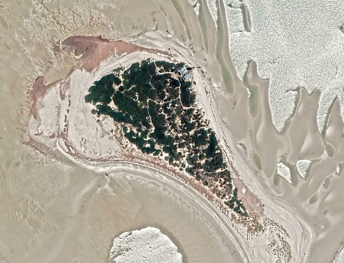
The island is about 800 metres long and about 440 metres wide.
Troubridge Island was connected to the mainland at the time of the most recent glaciation, about 17,000 years ago, but has since been isolated by rising sea levels.
The island is located in the southwestern corner of Gulf St Vincent in South Australia, about 8 km offshore from the town of Edithburgh on the Yorke Peninsula, and about 80 km southwest of Adelaide across the water.
The island is about 800 metres long and about 440 metres wide.
Troubridge Island was connected to the mainland at the time of the most recent glaciation, about 17,000 years ago, but has since been isolated by rising sea levels.
|
|
VIDEOS.
AUDIO.
An interesting story about the island from ABC Local Radio in 2012.
